Cornwall Cycle Map (1)
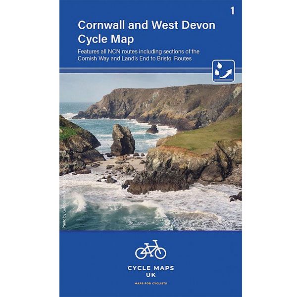
Cornwall and West Devon Cycle Map (1)
-
Lang leve de specialist
Alles wat wij doen en verkopen is fietsvakantie-gerelateerd.
-
Fietsen maakt het hoofd leeg en het hart open
Even niet presteren. Beginnen, en de rest komt vanzelf op je af.
-
Eenvoudig gelukkig is gelukkig eenvoudig
Misschien wel de grootste rijkdom van een fietsvakantie.
Productomschrijving
Video Product

Productomschrijving
1. Cornwall and Devon Cycle Map - 1:100.000
Routes van het National Cycle Netword aanwezig
Een nieuwe serie fietskaarten van Engeland. Elk jaar komen er een stuk of 5 bij, op weg naar een lands dekkende fietskaartenserie.
Heel fijn, want de routes van het National Cycle Netwerk staan zijn duidelijk aanwezig en dat is eigenlijk op geen andere kaart aanwezig. Ook veel handige info als campings, jeugdherbergen, pubs, fietsenmakers etc zijn aanwezig. Een kaart duidelijk gericht op de fietser dus.
HIernaast zijn ze prettig handzaam en watervast.
First in a new series of cycle maps covering the whole country. The first map covers from Lands End in Cornwall to Plymouth.
The maps are all produced at a scale of 1:100 000 showing important features including the National cycle Network. Sections on road, off road and traffic free are all shown in differing colours along with their route number. Other roads and their classification are shown enabling you to link rides or explore sections and discover new routes at home or further afield.
Facilities such as toilets, pubs, accommodation, bike shops, repair stations and railway stations are all shown. The mapping also has relief shading giving you a clear picture of the terrain (and steepness of any hills) you will encounter.
Scale: 100 000 (10mm = 1 Km, 16mm = 1 Mile)
Folded size: 163mm x 105mm
Unfolded: 650mm x 800mm
Tear and water-resistant paper
Double sided
Hoofdkenmerken op een rij
| Schaal | 1:100.000 |
|---|---|
| Taal | Engels |
| Uitgever | Cordee Ltd. |
| Jaar van uitgave | 2022 |
| Artikelnummer | 704381 |
| EAN / ISBN | 9781904207740 |


