Baltic Sea Cycle Route- Iron Curtain Trail Bikeline Fietsgids
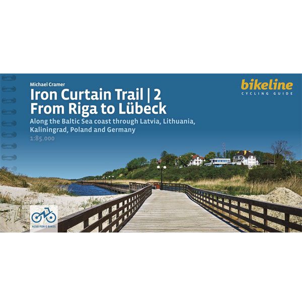
Iron Curtain Trail 2: Baltic Sea Cycle Route Bikeline Fietsgids (2024)
-
Lang leve de specialist
Alles wat wij doen en verkopen is fietsvakantie-gerelateerd.
-
Fietsen maakt het hoofd leeg en het hart open
Even niet presteren. Beginnen, en de rest komt vanzelf op je af.
-
Eenvoudig gelukkig is gelukkig eenvoudig
Misschien wel de grootste rijkdom van een fietsvakantie.
Productomschrijving
Video Product
Productomschrijving
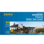
Baltic Sea Cycle Route- Iron Curtain Trail 2 - 1700 km
Along the Baltic Sea coast through Latvia, Lithuania, Kaliningrad, Poland and Germany
De fietsgids
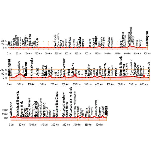
De Bikelineboekjes zijn al jaren zeer geliefd bij onze klanten. En terecht! Het is een zeer handzame ringband met zeer gedetailleerde fietskaarten en indien nodig stadsplattegronden waar de fietsroute ook op ingetekend is. Geen gezoek in de grote stad dus. Ook zijn, indien relevant, diverse hoogtegrafieken aanwezig.
De kaartjes zijn gemaakt van scheur- watervast papier. Hiernaast vindt u zeer uitgebreide toeristische info en alle overnachtingsadressen met nauwkeurige prijsindicatie. De adressen staan op volgorde van de route. Ook campings zijn terug te vinden in de lijst.
De route is twee kanten op bewegwijzerd. De meeste fietsers combineren deze bewegwijzering met de heldere kaartjes. Her en der zijn er altijd bordjes weg natuurlijk. De fietsgids past bijzonder mooi in de Ortlieb-kaarthoes. 
Gps-track
Voorin deze fietsgids staat een code of link waarmee u op de site van Esterbauer heel eenvoudig de GPS-track kan opvragen.
Wijzigingen
Klik op de button hierboven voor de laatste wijzigingen op de site van de uitgever Esterbauer.
Digitaal bladeren in Bikelinegids

Digitaal bladeren aan de hand van een voorbeeld, de Europaradweg
Engelstalige beschrijving van de site van Esterbauer
To properly live, breathe and experience history – that is the goal of the „Iron Curtain Trail”. From the Barents Sea to the Black Sea, this guide takes you along the Western border of the former Warsaw Pact countries, all the way across Europe. The route does not just connect European culture, history and sustainable tourism but it also provides historically-interested cyclists with some spectacularly beautiful and varied landscapes and unique habitats that were able to emerge in the former border strip, which is today the European Green Belt. This volume describes the 1,700-kilometer-long part of the route which is identical to the Baltic Sea Cycle Route from Rīga to Lübeck. The maps are scaled at 1:85,000.
Hoofdkenmerken op een rij
| Schaal | 1:75.000 |
|---|---|
| Taal | Engels |
| Schrijver | Bikeline |
| Uitgever | Esterbauer |
| Jaar van uitgave | 2024 |
| Artikelnummer | 702326 |
| EAN / ISBN | 9783711102201 |