ITM Ontario (Canada)
ITM Ontario (Canada)
-
Lang leve de specialist
Alles wat wij doen en verkopen is fietsvakantie-gerelateerd.
-
Fietsen maakt het hoofd leeg en het hart open
Even niet presteren. Beginnen, en de rest komt vanzelf op je af.
-
Eenvoudig gelukkig is gelukkig eenvoudig
Misschien wel de grootste rijkdom van een fietsvakantie.
Productomschrijving
Video Product
Productomschrijving
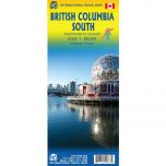
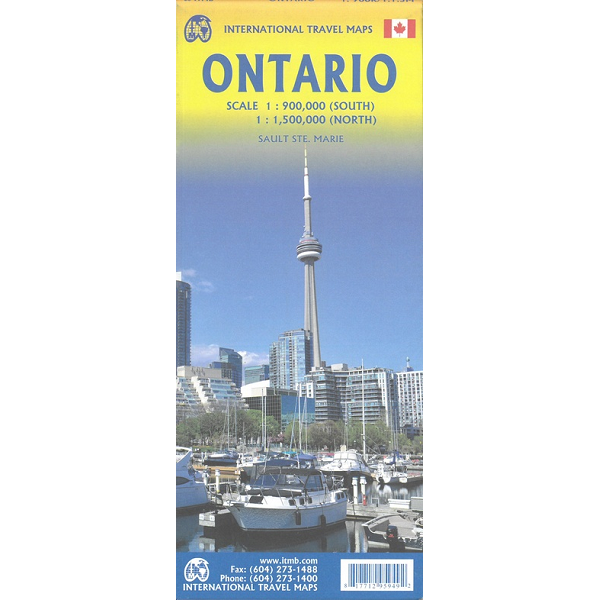
ITM Ontario - 1:1.000.000/1:1.500.000
Als er voor een land of streek helemaal geen kaart meer te vinden is om te fietsen dan hebben we gelukkig altijd nog de ITM-kaarten (International Travel Map). De schaal lijkt voor de fietser te grof, er kan echter goed mee gefietst worden. Meer wegen dan op de kaart staan zijn er meestal gewoonweg niet, zelfs de dirt-roads zijn meestal nog terug te vinden. Veel kaarten zijn inmiddels waterbestendig. Hoogte wordt aangegeven middels kleurvlakken.
Over de kaart van Ontario
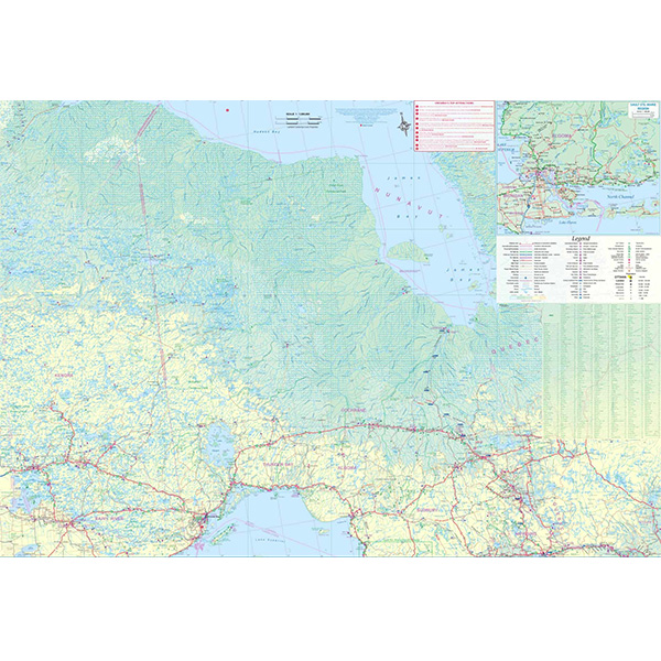
Ontario and Quebec form the portion of Canada known as Central Canada. Ontario is the industrial heartland of the country, and the southern portion is the most densely-populated and urbanized part of Canada. Toronto is a city of 2.8M people and the heartland of an economic region serving 100,000,000 people in two countries. Southern Ontario is also home for six million residents, some of the most historic sites in the country, and major recreational land masses (Algonquin Park, Bruce Trail, Muskoka/Haliburton). Northern Ontario, on the other side of the map, occupies the bulk of the land area of the province, and is dominated by the Canadian Shield (a pre-Cambrian rock formation that is the oldest land on earth, rich in mineral wealth). The North is dominated by recreational activities, wilderness adventures, and mining tours. Ontario also has ports for ocean-going ships in Lake Superior and on James Bay. Very few Canadians have ever been to Polar Bear Provincial Park in the NE. Printed on paper, double-sided.
Double-sided map of Ontario, part of a series of maps of Canadian provinces from the Vancouver-based ITMB, with topography presented by altitude colouring rather than by relief shading. The map divides the province north-south, showing on one side the southern part 1:900,000, and on the reverse northern Ontario at 1:1,500,000.
Topography is indicated by altitude colouring, with spot heights plus graphics for marshlands. Plenty of rivers and lakes are shown, with the larger ones also named. Numerous national parks or provincial protected areas are highlighted and Indian reservations are marked.
The map shows the province’s road and rail networks, also indicating local airports in remote areas. Symbols highlight campsites, skiing areas, etc. The map has a latitude and longitude grid at intervals of 1º and is indexed
Hoofdkenmerken op een rij
| Schaal | 1:1.000.000 / 1:1.500.000 |
|---|---|
| Taal | Engels |
| Uitgever | itm |
| Jaar van uitgave | 2023 |
| Artikelnummer | 436363 |
| EAN / ISBN | 9781771295949 |