Fietskaart Peloponnesos
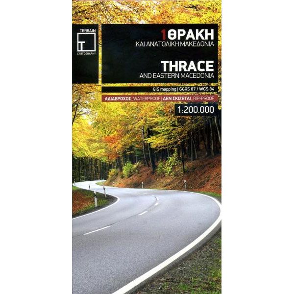
Thrace and Eastern Macedonia Terrain Maps (1)
-
Lang leve de specialist
Alles wat wij doen en verkopen is fietsvakantie-gerelateerd.
-
Fietsen maakt het hoofd leeg en het hart open
Even niet presteren. Beginnen, en de rest komt vanzelf op je af.
-
Eenvoudig gelukkig is gelukkig eenvoudig
Misschien wel de grootste rijkdom van een fietsvakantie.
Productomschrijving
Video Product
Productomschrijving
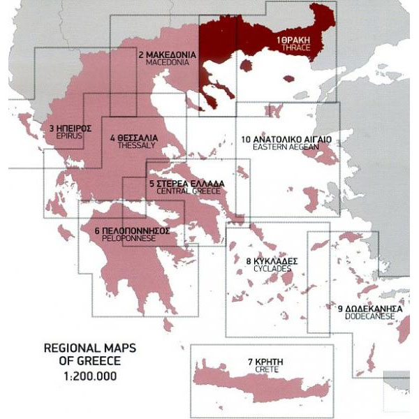
Terrain Maps 1: Thrace and Eastern Macedonia- 1:200.000
Voor Thrace vinden wij dit zonder twijfel de beste kaart om mee te fietsen. Maakt u een trektocht dan voldoen de kaarten met schaal 1:200.000 meer dan voldoende. Ook index aanwezig.
Eigenschappen:
• Schaal 1: 200 000
• Diverse Detailkaarten, plaastnamenindex en index archeologische plaatsen in apart boekje
• Watervast papier (Polyart)
• GPS-geschikt (GIS mapping/GGRS 87/ WGS 84)
• Duidelijke kilometer aanduiding op kaart
• Bezienswaardigheden op de kaart aangegeven
• Leganda in Engels, Duits en Grieks
Detailed and updated map of Thrace including eastern Macedonia, as well as the islands of Samothrace and Thasos. It uses G.I.S. (Geographical Information Systems) technology and the WGS84 reference system, supplemented by a ΕΓΣΑ87 grid.
Like all of TERRAIN’s large maps, the map of Epirus is printed on Polyart, which is extremely durable against folding and unfolding, does not rip, and is 100% waterproof.
Based on field research completed in 2013, this map features all the newest national motorways, their interchanges, toll stations and Motorway Service Stations, as well as Egnatia motorway, its interchanges and vertical axes, and the border crossings.
Also depicted are the region’s tourist attractions, archaeological sites, castles, monasteries, National Parks, caves open to visitors, scenic routes worth exploring, campsites, vineyards under Protected Designation of Origin and wineries open to the public. In mountainous regions the ski resorts, mountain refuges and main trails are illustrated.
Presentation of the road network is exceptionally detailed and complete to reflect the scale of the map, and it is arranged into six categories.
Hoofdkenmerken op een rij
| Schaal | 1:200.000 |
|---|---|
| Artikelnummer | 700541 |
| EAN / ISBN | 9789609456265 |

