Let op: onze fysieke winkel in Elst is op vrijdag 3 januari gesloten.
- Voor 15:30 besteld, zelfde werkdag weg
- Verzending slechts € 2,95 (NL)
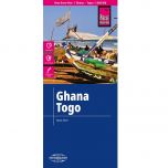
ITM Benin & Togo
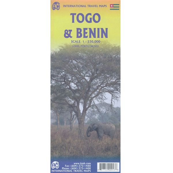
ITM Benin & Togo
€ 13,90
-
Lang leve de specialist
Alles wat wij doen en verkopen is fietsvakantie-gerelateerd.
-
Fietsen maakt het hoofd leeg en het hart open
Even niet presteren. Beginnen, en de rest komt vanzelf op je af.
-
Eenvoudig gelukkig is gelukkig eenvoudig
Misschien wel de grootste rijkdom van een fietsvakantie.
Productomschrijving
Video Product
Productomschrijving
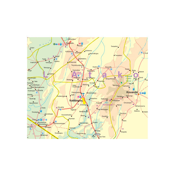
ITM Benin & Togo - 1:530.000
Als er voor een land of streek helemaal geen kaart meer te vinden is om te fietsen dan hebben we gelukkig altijd nog de ITM-kaarten (International Travel Map). De schaal lijkt voor de fietser te grof, er kan echter goed mee gefietst worden. Meer wegen dan op de kaart staan zijn er meestal gewoonweg niet, zelfs de dirt-roads zijn meestal nog terug te vinden. Veel kaarten zijn inmiddels waterbestendig. Hoogte wordt aangegeven middels kleurvlakken.
Over de kaart van Benin & Togo
Togo and Benin. These two countries have developed an incredible tourism industry and are very popular with visitors. They are larger than one expects; small in comparison to neighbouring Nigeria, but large as countries go. This map is brand new artwork at a much more attractive scale than the previous version; printed double-sided with much more information than was available to us when the original map was being developed. We’ve also added a few capsule comments about interesting facts related to the two countries, and large inset maps of Lome and Porto Novo. The map is divided into a north half and south half, as most attractions are in the south. As with all ITM maps, this one shows physical features, road conditions, and petrol stations in more isolated parts of both countries.
Legend Includes:
Roads by classification, International Airports, Churches, Hotels, Points of Interest, Hospitals, Gas Stations, Ports, Telephones, Historic and Archaeological sites, Forests, National Parks, Rivers, Lakes, Swamps and more.
Hoofdkenmerken op een rij
| Schaal | 1:530.000 |
|---|---|
| Taal | Engels |
| Uitgever | itm |
| Jaar van uitgave | 2019 |
| Artikelnummer | 488152 |
| EAN / ISBN | 9781771290913 |
Reviews
Schrijf uw eigen review
Andere producten die mogelijk iets voor u zijn!