ITM Georgia & Tbilisi
ITM Georgia & Tbilisi
-
Lang leve de specialist
Alles wat wij doen en verkopen is fietsvakantie-gerelateerd.
-
Fietsen maakt het hoofd leeg en het hart open
Even niet presteren. Beginnen, en de rest komt vanzelf op je af.
-
Eenvoudig gelukkig is gelukkig eenvoudig
Misschien wel de grootste rijkdom van een fietsvakantie.
Productomschrijving
Video Product
Productomschrijving
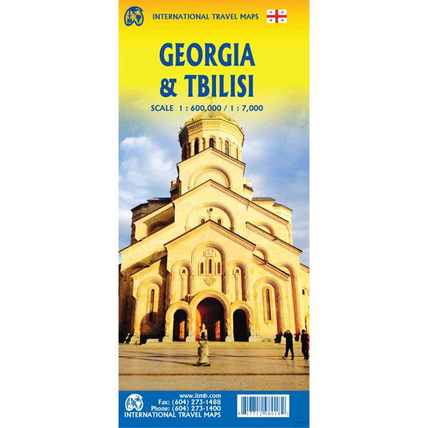
ITM Georgië & Tbilisi- 1:600.000 / 1:7.000
Als er voor een land of streek helemaal geen kaart meer te vinden is om te fietsen dan hebben we gelukkig altijd nog de ITM-kaarten (International Travel Map). De schaal lijkt voor de fietser te grof, er kan echter goed mee gefietst worden. Meer wegen dan op de kaart staan zijn er meestal gewoonweg niet, zelfs de dirt-roads zijn meestal nog terug te vinden. Veel kaarten zijn inmiddels waterbestendig. Hoogte wordt aangegeven middels kleurvlakken.
Over de kaart van Georgië en Tbilisi
Georgia, the country and not the American state, is a very nice, but threatened country of great historical importance. Bordered on the west by the Black Sea, on the north by Russia, and on the east by Azerbaijan, and with an ill-defined border with Turkey on the west, Georgians must be nimble to retain their independence. Only with neighbouring Armenia does Georgia enjoy relatively good relations. Historically, Georgia is a Christian enclave that dates back to the earliest days of Christianity, and its many churches are major touristic attraction. This map portrays the country as accurately as is possible, showing the expanding network of motorways, major churches, castles, touristic sites, and regrettably, areas of contention with both Russia and Azerbaijan. The reverse side shows a full-sized city map of Tbilisi, the capital. This is the first time that the city has been portrayed in such detail. Attractions include the Narikala Fortress, the cathedral, the old town centre, and the Dry Bridge Market (now a flea market, but in Soviet times a black market). The city lies beside the Kura River, in a valley enclosed by Mtatsminda Mountain, which has two cable cars to its summit, which is now a recreational theme park. The city’s two metro lines are also a good way to travel around the city.
Legend Includes:
Roads by classification, Rivers and Lakes, National Park, Airports, Points of Interests, Highways, Main Roads, Zoos, Fishing, and much more...
Hoofdkenmerken op een rij
| Schaal | 1:600.000 / 1:7.000 |
|---|---|
| Taal | Engels |
| Uitgever | itm |
| Jaar van uitgave | 2021 |
| Artikelnummer | 704152 |
| EAN / ISBN | 9781771298018 |


