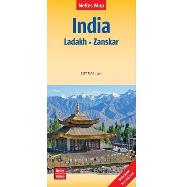
Nelles India Ladakh - Zanskar
India Ladakh Zanskar
€ 11,95
-
Lang leve de specialist
Alles wat wij doen en verkopen is fietsvakantie-gerelateerd.
-
Fietsen maakt het hoofd leeg en het hart open
Even niet presteren. Beginnen, en de rest komt vanzelf op je af.
-
Eenvoudig gelukkig is gelukkig eenvoudig
Misschien wel de grootste rijkdom van een fietsvakantie.
Productomschrijving
Productomschrijving
Nelles India Ladakh - Zanskar
Voor bestemmingen buiten Europa zijn de Nelles kaarten doorgaans prima om mee te fietsen. Ze geven een zeer plastisch landschapsbeeld door aanwezige reliëftekening en kleurgebruik. Ook afstandsaanduiding is aanwezig. Tevens vaak inzetten van stadsplattegronden en veel toeristische info.
The map shows the region’s mountainous topography by contours at 200m intervals with very effective relief shading, plus spot heights and mountain passes. In addition to roads and local cart tracks, trekking trails are marked. Symbols indicate various places of interest including campsites, temples, hot springs and waterfalls, etc. Coverage extends from Kulu in the south to the Baltoro Range and the Nubra Valley in the north, with an inset extending the map westwards to include Srinagar, Jammu and Pathankot.
The street plan of Leh shows location of numerous hotels and includes an enlargement for the old town.
NEW to Nelles Maps range. 1 : 350,000 scale. Detailed, relief shading clearly shows spot heights and mountain ranges giving a real sense of the terrain with distances provided for the majority of routes. Also highlights key trekking routes.
Hoofdkenmerken op een rij
| Schaal | 1:350.000 |
|---|---|
| Taal | Engels/Duits |
| Uitgever | Nelles |
| Artikelnummer | 703011 |
| EAN / ISBN | 9783865742728 |
Reviews
Schrijf uw eigen review

