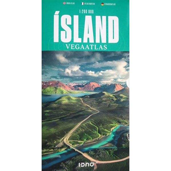
Ijsland Wegenatlas Ferdakort
IJsland Wegenatlas Ferdakort
-
Lang leve de specialist
Alles wat wij doen en verkopen is fietsvakantie-gerelateerd.
-
Fietsen maakt het hoofd leeg en het hart open
Even niet presteren. Beginnen, en de rest komt vanzelf op je af.
-
Eenvoudig gelukkig is gelukkig eenvoudig
Misschien wel de grootste rijkdom van een fietsvakantie.
Productomschrijving
Video Product
Productomschrijving
IJsland Wegenatlas Ferdakort
Prachtig atlas voor heel IJsland met kaarten op de schaal van 1:200.000. Zoals je op het kaartbeeld kan zien meer dan goed genoeg. Was je er maar al!
Waterbestendige kaarten met vermelding van o.a. campings, hoogtelijnen en andere noodzakelijke info.
Prachtig, wordt je gelukkig van!!
This road atlas is based on a map database on a scale of 1:200 000. In addition to 50 pages of road maps, the Road Atlas contains several theme maps covering accommodation, camping sites, museums, swimming pools and golf courses. There is also a comprehensive place-name index with over 15,500 entries. The format of the atlas makes it very easy for use in a car: when folded it measures only 16 x 31 cm. When opened, however, the format’s uniqueness is quickly apparent: it unfolds to a width of about 60 cm that gives an excellent overview of a large tract of land. One page can be examined at a time, or the book folded to its original format, which is a 16-cm-wide map page, By enlarging the map from 1:250 000 to 1:200 000, it is easier to read and to grasp the lay of the land. The Road Atlas comes in a handy box.
Hoofdkenmerken op een rij
| Schaal | 1:200.000 |
|---|---|
| Artikelnummer | 708986 |
| EAN / ISBN | 9789979675075 |

